
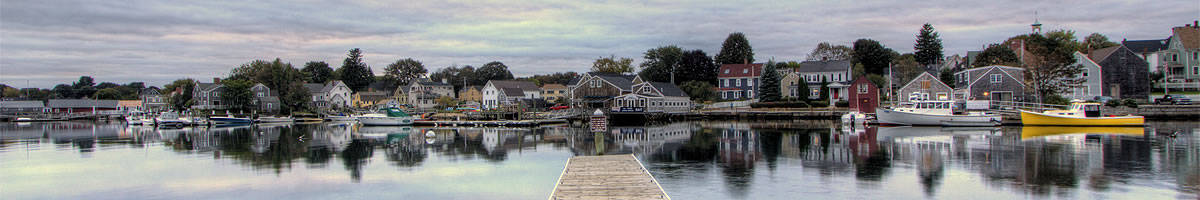
Current Conditions for Portsmouth NH and the Seacoast
Longitude W70.8 – Latitude N43.1 • Rockingham County, New Hampshire, USA
Weather: overcast
Relative Humidity: 91%
Dew Point: 35.6 F
Pressure (in.): 29.84 in.
Last Updated: Nov 22, 2025 - 04:55 AM EST
Forecast
Today: Cloudy with a slight chance of rain showers this morning, then partly sunny this afternoon. Highs in the upper 40s. Light and variable winds, becoming northwest around 10 mph with gusts up to 20 mph this afternoon. Chance of rain 20 percent.Tonight: Mostly clear. Lows in the upper 20s. Light and variable winds. Gusts up to 20 mph in the evening.
Sunday: Partly sunny in the morning, then becoming mostly cloudy. Highs in the mid 40s. Light and variable winds.
Sunday Night: Partly cloudy. Lows in the lower 30s. Light and variable winds.
Monday: Mostly sunny. Highs in the upper 40s. Northwest winds around 10 mph with gusts up to 20 mph.
Monday Night: Mostly clear in the evening, then becoming partly cloudy. Lows in the upper 20s.
Tuesday: Cloudy. Highs in the upper 40s.
Tuesday Night: Showers. Lows in the upper 30s. Chance of rain 80 percent.
Wednesday: Showers likely, mainly in the morning. Highs in the mid 50s. Chance of rain 70 percent.
Wednesday Night: Mostly cloudy with a 50 percent chance of showers. Lows in the upper 30s.
Thanksgiving Day: Partly sunny. Highs in the upper 40s.
Thursday Night: Partly cloudy. Lows in the lower 30s.
Friday: Partly sunny. Highs in the mid 40s.
Marine Forecast
TODAY: W winds 10 to 15 kt with gusts up to 20 kt, becoming NW 5 to 10 kt late this morning and early afternoon, then increasing to 10 to 15 kt with gusts up to 20 kt late. Seas around 2 ft. Wave Detail: W 2 ft at 4 seconds and E 2 ft at 7 seconds. A slight chance of showers this morning.
TONIGHT: NW winds 10 to 15 kt, diminishing to 5 to 10 kt after midnight. Gusts up to 25 kt. Seas 2 to 3 ft. Wave Detail: NW 2 ft at 3 seconds and E 2 ft at 7 seconds.
SUN: SW winds 5 to 10 kt. Seas around 2 ft.
SUN NIGHT: W winds 5 to 10 kt, becoming NW 10 to 15 kt with gusts up to 20 kt after midnight. Seas 2 to 3 ft. Wave Detail: W 2 ft at 3 seconds.
MON: NW winds 10 to 15 kt with gusts up to 20 kt. Seas 2 to 3 ft. Wave Detail: NW 2 ft at 3 seconds.
MON NIGHT: NW winds 10 to 15 kt, diminishing to 5 to 10 kt after midnight. Seas 2 to 3 ft. Wave Detail: NW 2 ft at 3 seconds.
TUE: SW winds 5 to 10 kt, increasing to 10 to 15 kt with gusts up to 20 kt in the afternoon. Seas around 2 ft.
TUE NIGHT: S winds 10 to 15 kt with gusts up to 20 kt. Seas around 2 ft. Showers.
WED: SW winds 10 to 15 kt with gusts up to 20 kt. Seas 2 to 3 ft. Showers likely, mainly in the morning.
WED NIGHT: SW winds 10 to 15 kt, becoming W 15 to 20 kt after midnight. Gusts up to 30 kt. Seas 2 to 4 ft. A chance of showers.
Radar
WHDH
Intellicast Loop
Watches, Warnings and Advisories
Coastal Rockingham
Coastal York County
Gulf of Maine
Conditions and Forecasts
Isles of Shoals
Current conditions
New England
Satellite view from NOAA
Weather Channel
For Portsmouth and zipcode 03801
 |